 Greater Malé Region
Chapter 03
Masterplan
The islands, redrawn.
Before this: 3.0 How to read this chapter, shared by the three islands.
3.1Vision
Rebalancing Malé towards urban life
Relocating the port to Thilafushi moves Malé up the value chain, from back-of-house operations to a front-of-house city.
MOVING UP THE VALUE CHAIN
STRATEGIES: AN ISLAND…
-
 where people meet at ground level
Shaded streets, active edges and car-free superblocks bring life back to the ground floor.
-
 affordable to those who live here
Social housing, rehousing in place and a mix of home sizes keep Malé’s own people in Malé.
-
 that gives back to nature
Breeze corridors, green roofs and a restored coastline return space to sea, wind and shade.
MASTERPLAN VIEWS
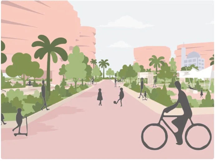
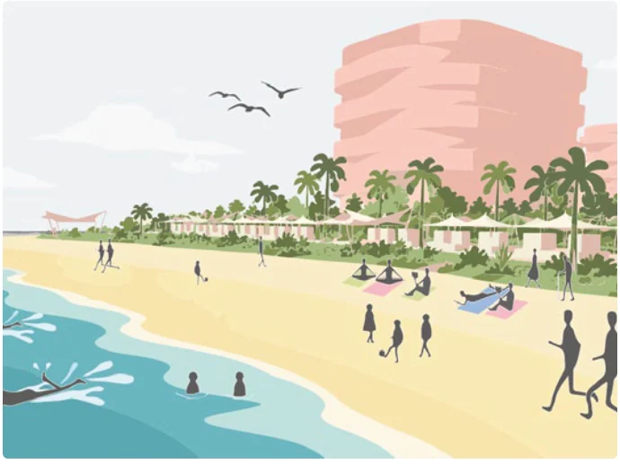
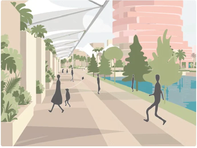
Metrics: before and after
POPULATION ON SITE
10,500
+1,270 residents, 14% more
DENSITY OF HOUSING LAND
2,476
a third fewer: homes get more room
OPEN SPACE PER PERSON
3.8
4.9 m² with pedestrian streets
RESIDENTIAL LAND
4.24
68% more land for homes
INDUSTRIAL PORT LAND
0 ha
the port moves to Thilafushi
HOMES, NEW OR REBUILT
672
for 2,470 residents
| Whole site | Existing | Proposed | Change |
|---|---|---|---|
| Site area (ha) | 13.43 | 13.43 | none |
| People on site | 9,230 | 10,500 | +1,270 |
| Open share of site | 0% | 38% | +38 pts |
| Open area (ha) | 0 | 5.15 | +5.15 |
| Open space per person (m²) | 0 | 4.9 | +4.9 |
| People per hectare | 687 | 782 | +95 |
| Capstone housing | One building | All five |
|---|---|---|
| Plot footprint (m²) | 3,000 | 15,000 |
| Residential floors | 6 | 6 |
| Gross floor area (m²) | 18,000 | 90,000 |
| Residents | 244 | 1,220 |
| Average home (sq ft) | 688 | 688 |
| Living area per person (sq ft) | 225 | 225 |
Site metrics, and capstone housing, existing and proposed. Open area includes pedestrian streets. A home averages 55,000 sq ft ÷ 80 homes; living area is 55,000 sq ft ÷ 244 people.
LAND USE, BEFORE AND AFTER
3.2Parti
THE IDEA
One move frees the waterfront: the port and North Harbour leave for Thilafushi. Four wings then reconnect Malé to the world, the ocean, its past and its future. An amenity core of kiosks, a school and park, a sports centre and shops ties them together.
Legend
 Port relocation back-of-house leaves Malé
 Wing zone north, east, south and west
 Wing connection to the world, the ocean, the past and the future
 Amenity core node everyday needs between wings
 Stitch link wing to wing
 Vista / breeze cut through the reclaimed grid to the sea
-
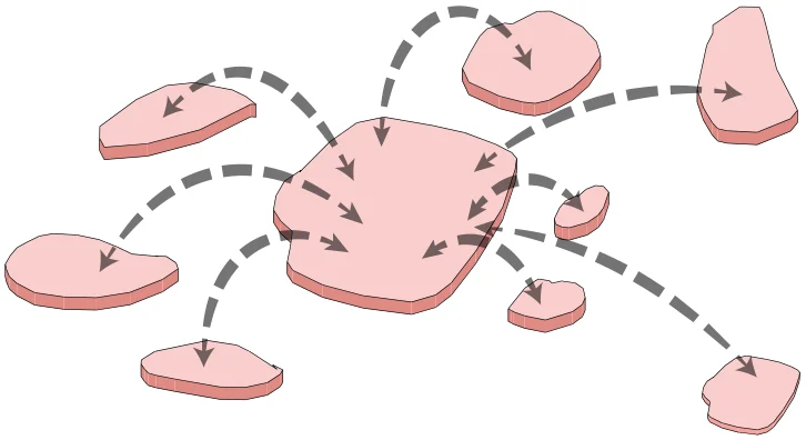
Malé to the world
EAST WING | THE HUB OF THE ATOLLS
Every island connects through Malé. The East wing turns that traffic into a proper arrival: one terminal for ferries, airport boats and bridge buses.
-
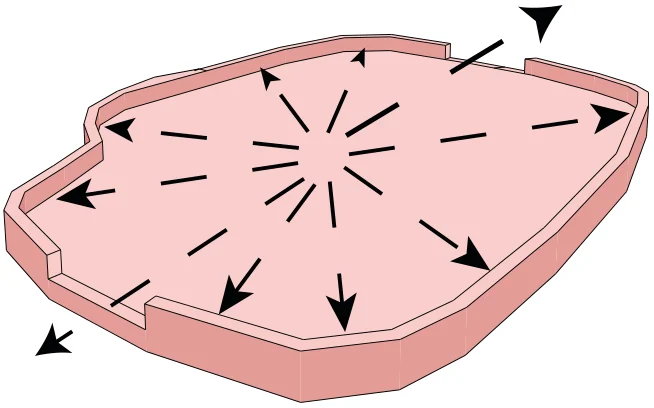
Malé to the ocean
WEST WING | AN ISLAND THAT TURNED ITS BACK ON THE SEA
Seawalls ring Malé, with only two soft edges left to the water. The West wing reopens one of them as the Ocean Hub: a beach, diving and swimming.
-
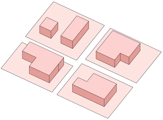
Malé to its past
SOUTH WING | HOUSES IN GARDENS
Old Malé was low homes set in walled compounds, with shade, trees and air inside every plot. The South wing brings that back through breeze cuts, superblocks and pocket parks.
-
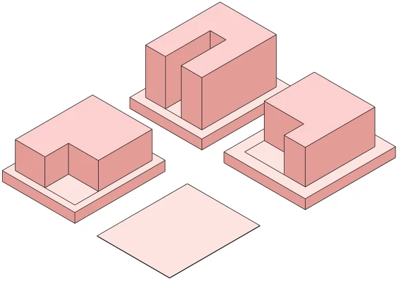
Malé to its future
NORTH WING | ROOM TO BREATHE
Taller homes lifted on green bases, cut open with courtyards for cross-ventilation, with one plot left free as open space. The North wing’s capstone plots follow the new guidelines.
Figures 3.2.2M to 3.2.5M The parti in four steps, one for each wing of Fahi-Malé.
3.3Existing conditions
WHAT IS THERE NOW
The port, cargo yards and warehouses hold 9.90 ha, 74% of the 13.43 ha area. They block the sea and fill the streets with trucks. Behind them, 9,230 people live on 2.53 ha of homes. The plan has to give this edge back to the city.
Legend
 Existing building, retained
 To be demolished port structures and widening cuts
 Retained and adapted for example warehouses to terminal
 Port operations (relocating) North Harbour to Thilafushi
Existing issues
-
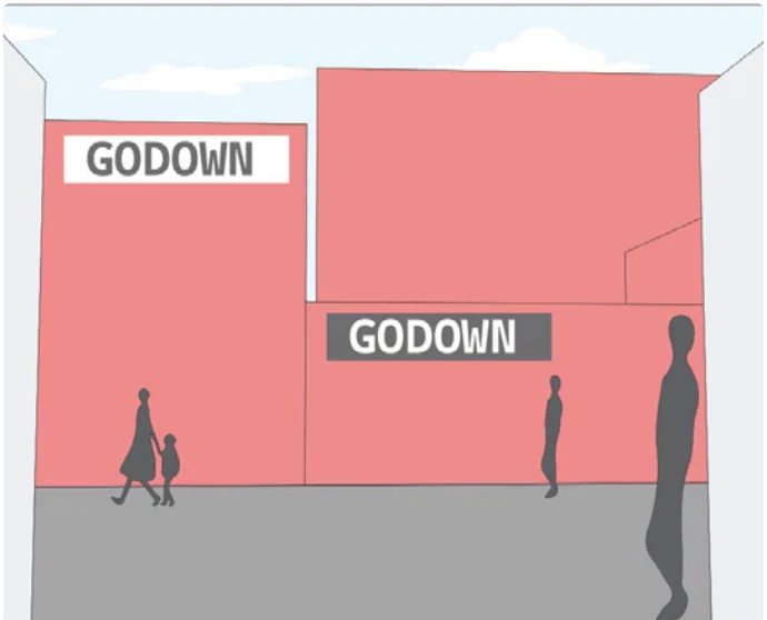
A blocked waterfront
Waterfront blocked by industrial and godown uses, limiting public access.
-
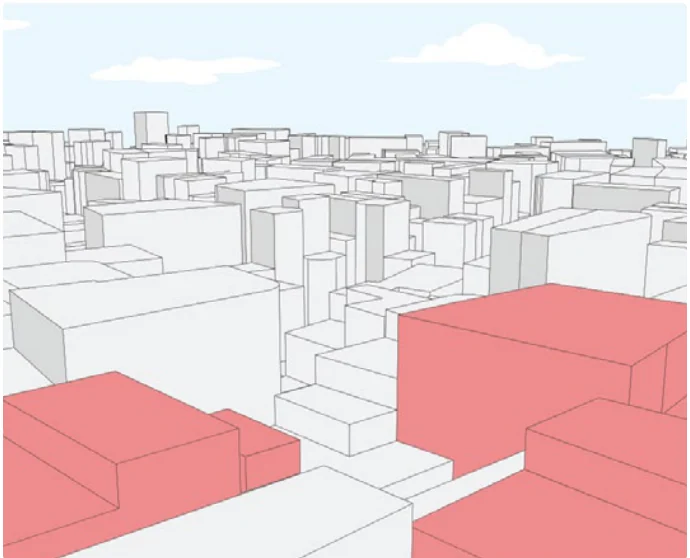
No room to play
High building density leaves little space for public recreation.
-
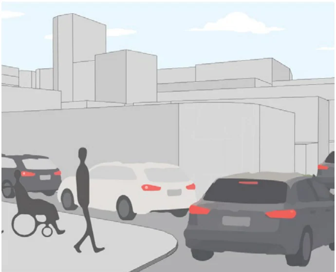
Far from the bus
Distant bus stops increase dependence on private vehicles.
-
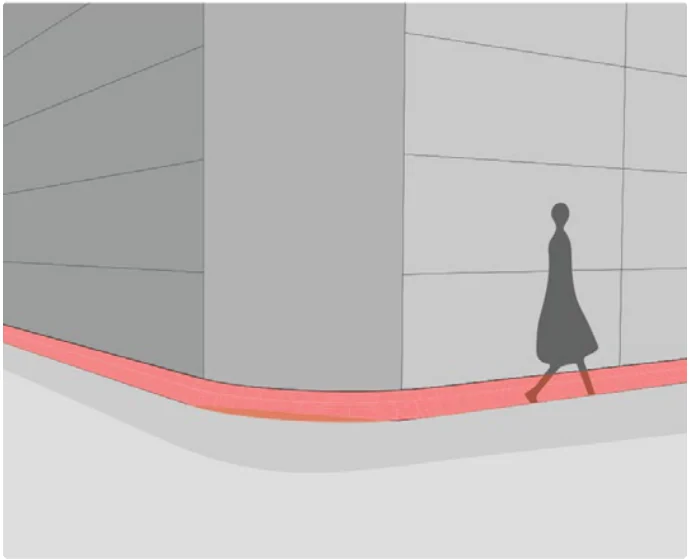
Pipes in the way
Exposed roadside pipes obstruct pedestrian movement.
-
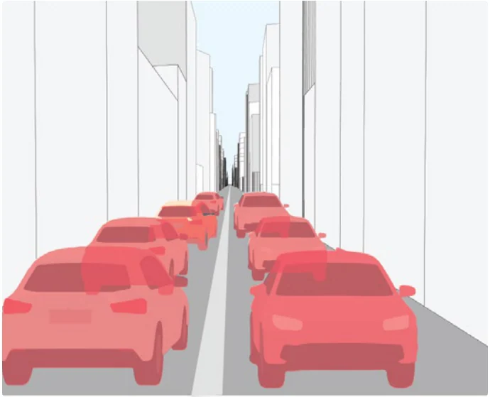
A traffic barrier
A busy road acts as a barrier.
-
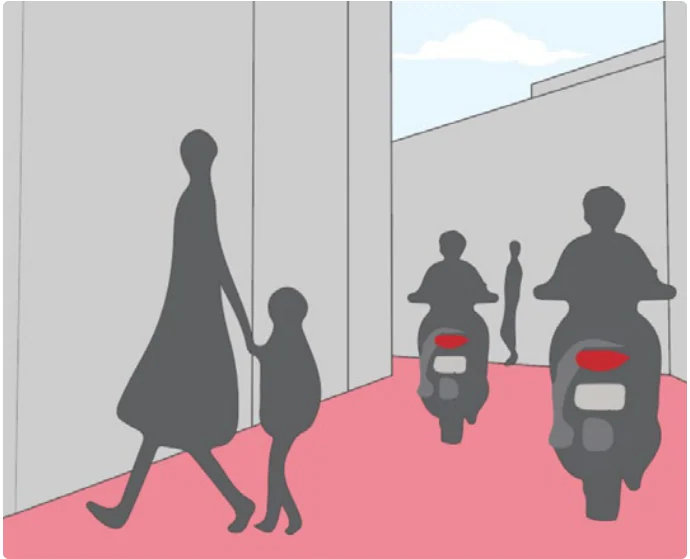
One strip for all
Narrow roads force pedestrians and vehicles to share unsafe space.
Figures 3.3.2M to 3.3.7M Six problems seen on site.
WHAT THE IMAGES SHOW
On the ground, the edge feels closed. Warehouse walls stand where the sea should be, and buildings press close, with no room left for play. Narrow roads leave people and motorbikes to share one strip, and bus stops are far, so many people drive.
3.4Movement network
HOW PEOPLE MOVE
Cars and trucks keep to the widened ring road. All parking moves to hubs at the edge, within a 200 m walk of any door. Inside, motorbikes, bicycles and scooters slow to 15 km/h and people have priority. Some lanes are for people only.
Legend
 Two-lane roads
 Single-lane roads
 Pedestrian-only roads no vehicles allowed
 Ferry / speedboat route regional water link
 Terminal / jetty
 Bus stop
Road sections
-
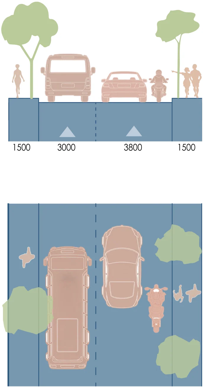
9.8 m road
Proposed 9.8 m road, Haveeree Hingun.
-
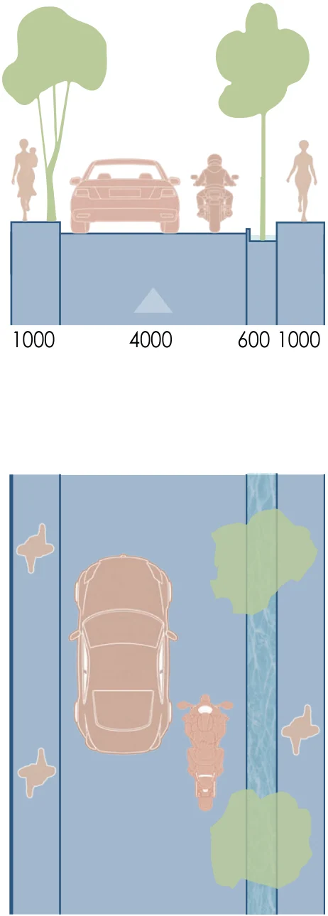
6 m road
Proposed 6 m wide road.
-
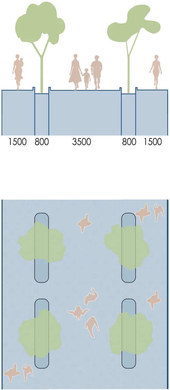
Pedestrian road
Proposed pedestrian road with trees.
Figures 3.4.2M to 3.4.4M Three roads in section and plan, at one scale.
WHAT CHANGES ON THE STREET
The widest road, Haveeree Hingun at 9.8 m, carries public transport and general traffic. On 6 m streets, vehicles slow down and people on foot get more room. Some streets become fully pedestrian, with space for walking, trees, shade and meeting people.
3.5Public and green space
WHERE THE SITE BREATHES
Today the area has no parks at all. The plan adds 4.04 ha of parks, sports and beach: 3.8 m² for each person, or 4.9 m² with the pedestrian streets. Breeze corridors and a continuous waterfront link them, each a short walk from every home.
Legend
 Park / green space
 Beach West wing
 Pocket park from widening-affected blocks
 Tree canopy / shade
 Green breeze and vista corridor
 BBQ area West wing
Views
-
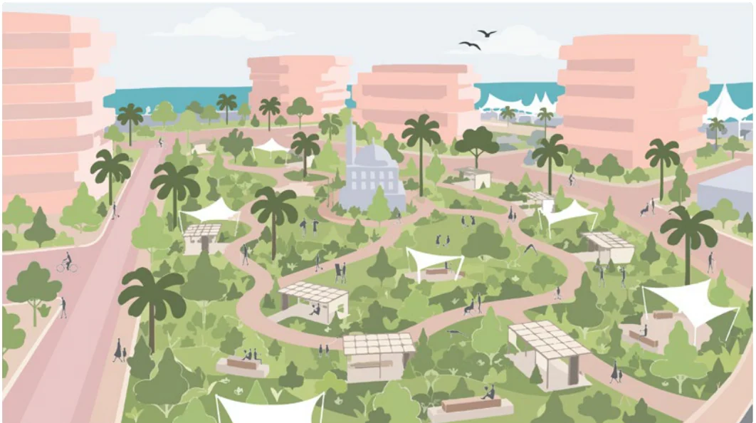
Park and school complex
The park and school complex at the heart of the amenity core.
-
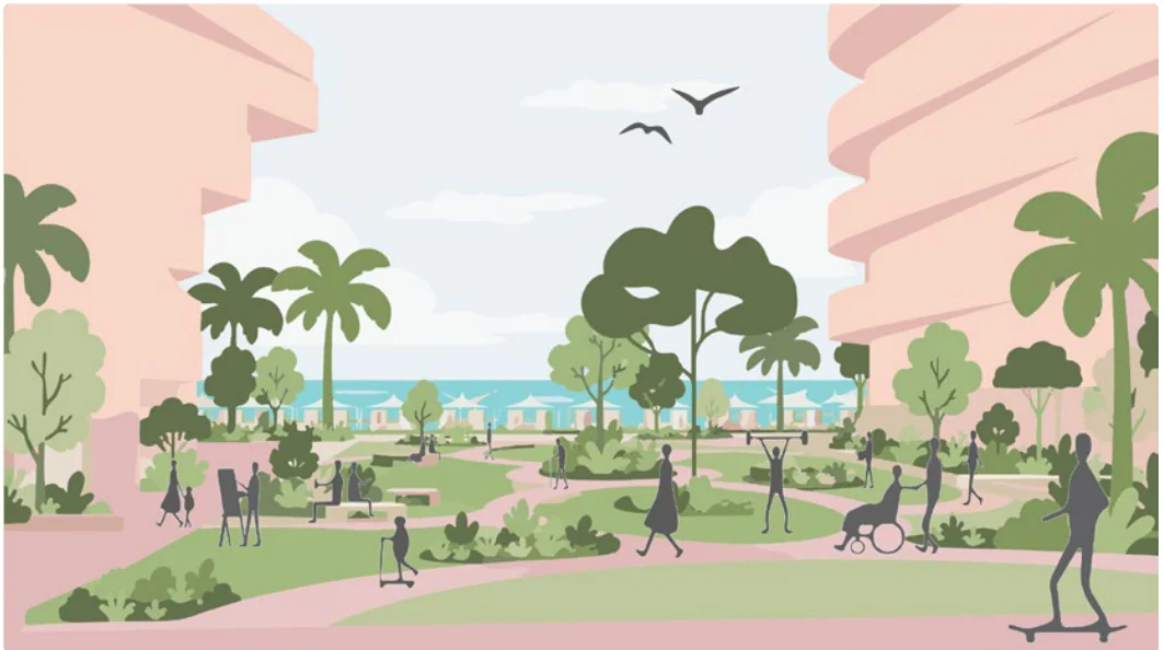
Pocket park
A pocket park in the future zone, near the beach.
-
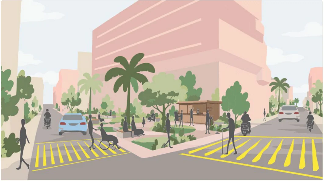
Pocket parks in the old area
Pocket parks on the plots that road widening frees in the old area.
-
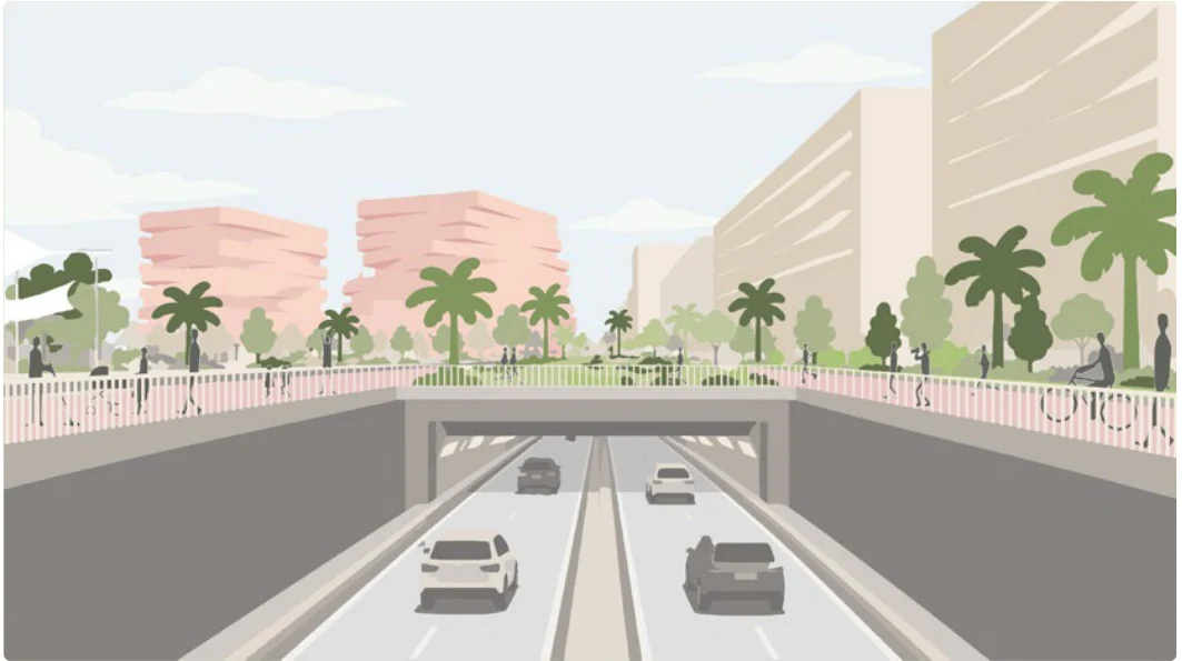
Tunnel public green
A park over the tunnel that carries through traffic under the site.
Figures 3.5.2M to 3.5.5M Views of the public spaces. Each number matches a marker on the drawing above.
WHAT THE SPACES OFFER
Every space is a short walk from every home. Trees and canopies shade the breeze corridors, and the public beach gives the sea back to the city, with a path to the beach every 60 m.
3.6Non-residential
WHAT THE SITE OFFERS
The East wing gives arrivals a terminal, with the fish and farmers’ markets beside it. The West wing holds the Ocean Hub, for diving, swimming lessons and marine research. Between them, an amenity core of kiosks, shops and a sports centre serves daily life.
Legend
 Civic / arrival terminal East wing gateway
 Commercial / retail / F&B lounge, food stalls, souvenirs
 Fish and farmers’ market redesigned
 Ocean Hub diving, marine centre, water park
 Amenity core school and kiosk
Views
-
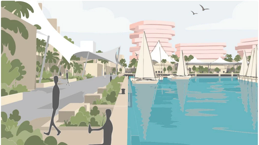
In front of the market
The redesigned fish and farmers’ markets, in front of the arrival terminal.
-
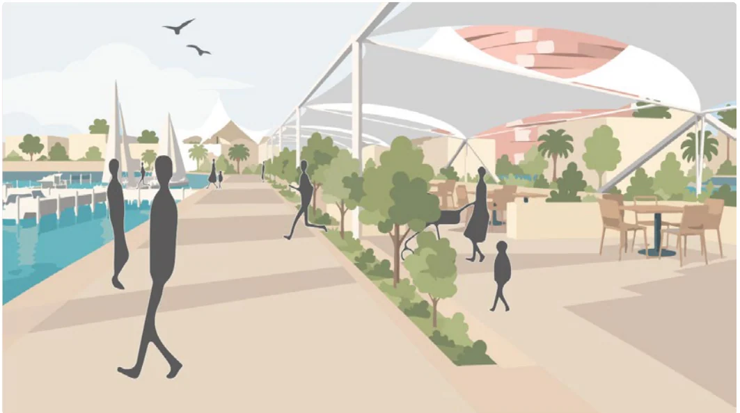
Arrival terminal
One terminal for ferries, airport boats and bridge buses, with a lounge and food stalls.
-
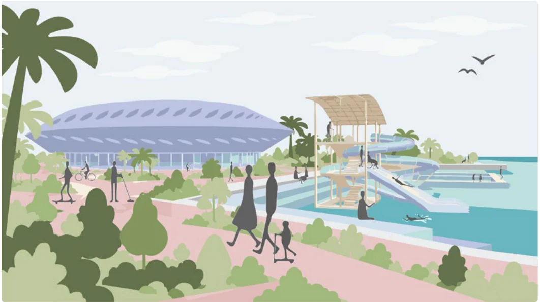
Ocean Hub
Diving, swimming lessons and marine research, with a beach for beginners.
-
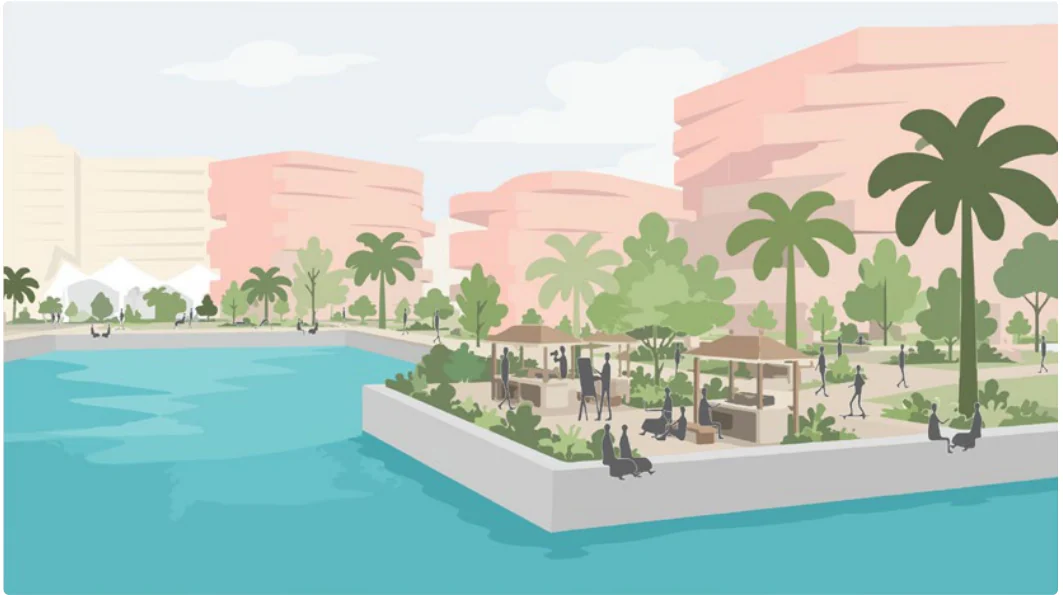
Barbecue area
A barbecue area at the water’s edge.
Figures 3.6.2M to 3.6.5M Views of the non-residential programme. Each number matches a marker on the drawing above.
WHO IT SERVES
Arrivals no longer wait for speedboats on the street. Residents learn to swim and dive at the Ocean Hub, and six dive sites within a 30-minute boat ride draw visitors from across Greater Malé. Shops, school and sport are all a short walk from home.
3.7Residential
WHERE PEOPLE LIVE
Five capstone buildings on the former port land add 400 homes for 1,220 people. Road widening displaces 1,000 residents, and all of them are rehoused in social housing on the same lot, with 250 more places. In all, 10,500 people live here, up from 9,230.
Legend
 Retained organic housing south fabric, rejuvenated
 New residential at most 15 floors and a 3,000 m² footprint
 Capstone plot C1–C5 capped at 8 to 10 floors
 Height tag floors
 Social / subsidised housing rehousing from widening cuts
Views
-
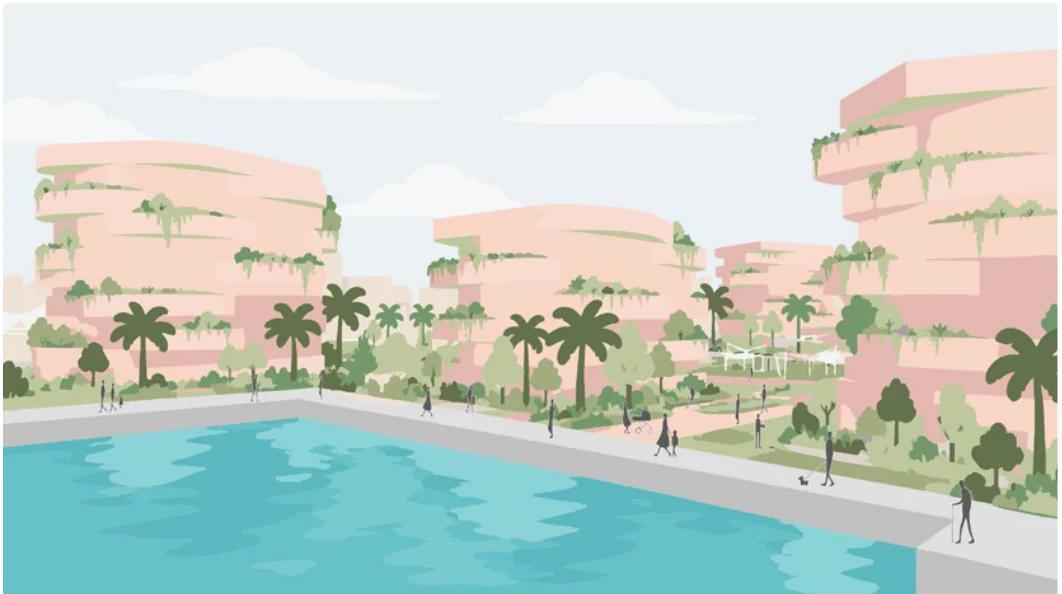
North-east
Capstone buildings on green bases, seen from the north-east.
-
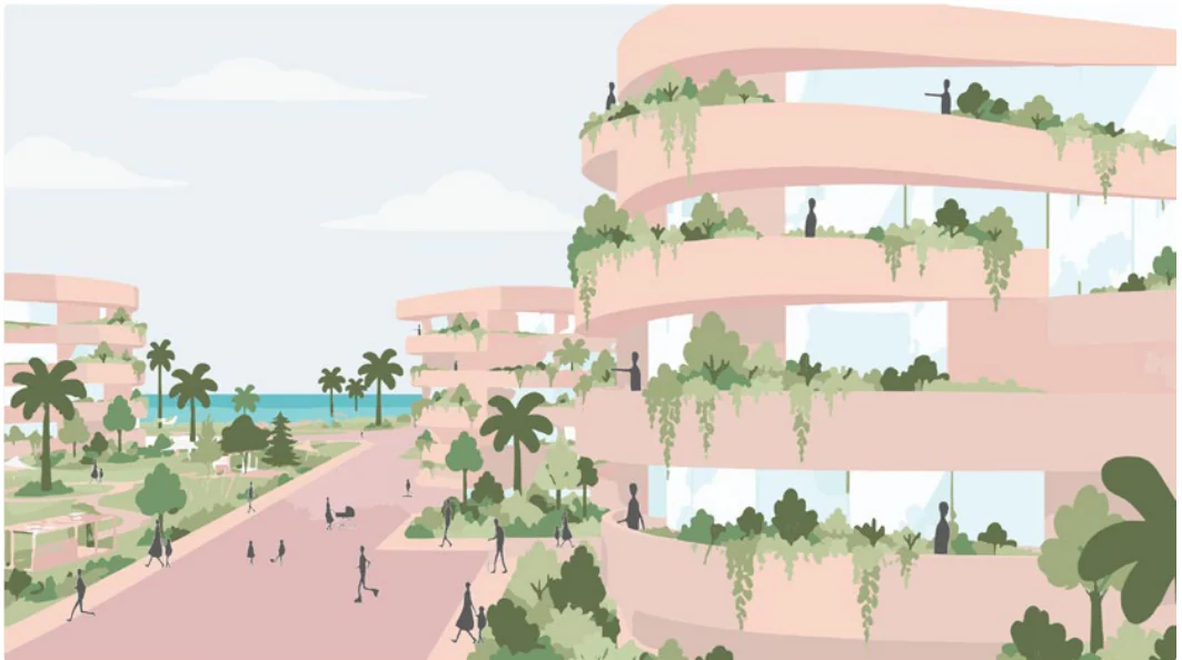
South to north
Looking north from the old lanes to the new homes on the port land.
-
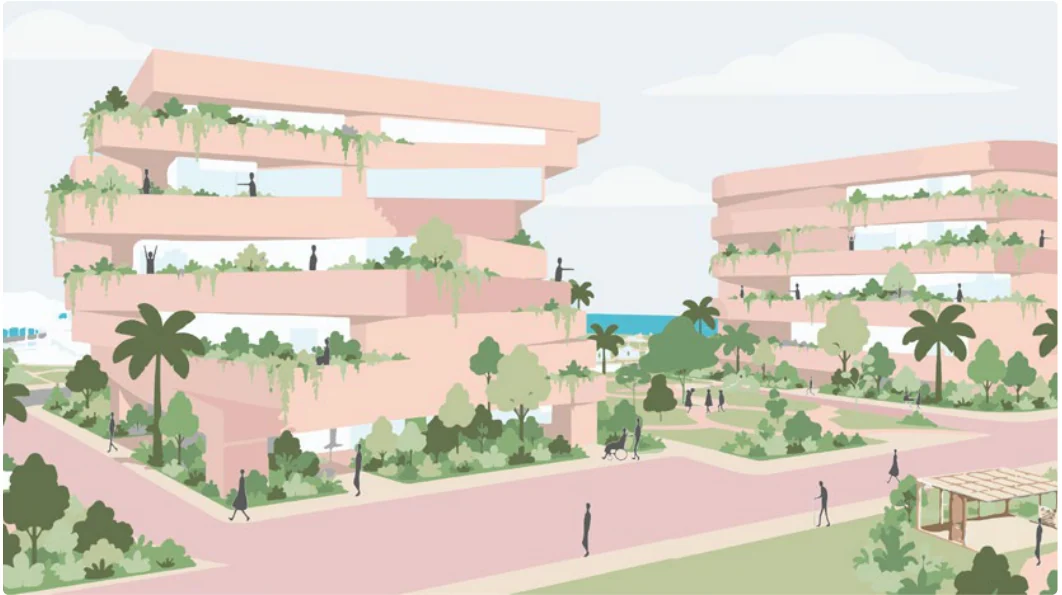
East-west
Looking west along the line of capstone buildings.
-
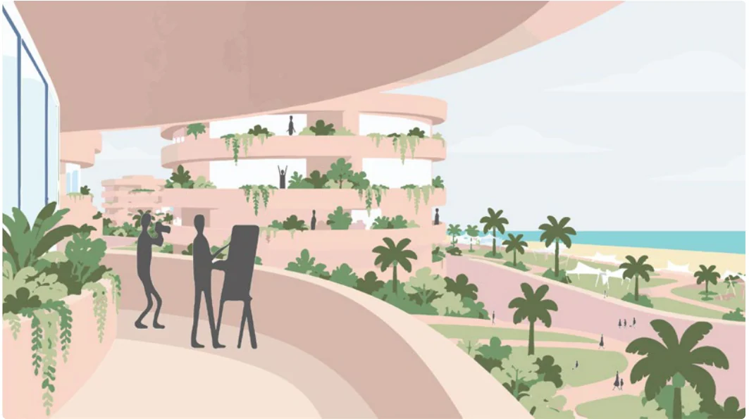
Balcony view
From a balcony: planted terraces looking out to the sea.
Figures 3.7.2M to 3.7.5M Views of the housing. Each number matches a marker on the drawing above.
WHO LIVES HERE
Land for homes grows from 2.53 ha to 4.24 ha, so homes get more room: people per hectare of housing fall by a third, from 3,648 to 2,476. Each capstone building has 80 homes, from one to three bedrooms, for 244 people.
3.8Masterplan
FAHI-MALÉ AS ONE PLACE
On the northern waterfront, Malé’s back of house, the port, cargo yards and warehouses, occupies the city’s most valuable edge. It blocks the sea and fills the streets with trucks. Fahi-Malé moves the port to Thilafushi and hands the waterfront back to the city.
Four wings reconnect Malé: to the world through a new arrival terminal, to the ocean through the Ocean Hub, to its past through a breathable old core, and to its future through new homes on the former port land. An amenity core stitches them together. Malé moves up the value chain, from a back-of-house island to a front-of-house city.
Legend
COMMERCIAL AND CIVIC
 Gaadiyaa
 Commercial and parking Indoor sports and parking Atoll shops 1
 Atoll shops 2
 Local market
 Food court
 Ferry terminal
 Commercial and parking Fish market
TRANSPORT AND DOCKS
 Parking
 Bus terminal
 Launch dockyard
 Local produce dock
 Fishing boat dock
 Underground tunnel
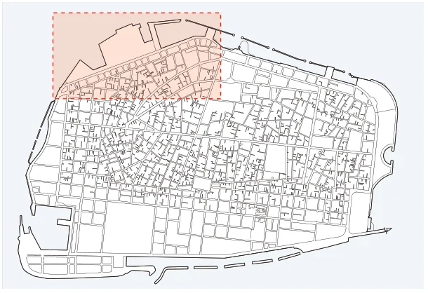
Key map
HOUSING
 Social housing 1
 Social housing 2
 Old organic fabric Capstone building 1
 Capstone building 2
 Capstone building 3
 Capstone building 4
 Capstone building 5
OPEN SPACE
 Beach
 Pocket parks
 Water park
 Mas Fengandu
 Fishing platform
LANDMARKS
 Ocean Hub
 Ocean Hub dock
 Mosque and social complex
ROUTES
 Bus route
 Vehicle routes
3.9Policy and guidelines
Building regulations: the plot and the building
Building regulations: the plot and the building
-
 Ten storeys at most
No building rises above 10 storeys, 30.48 m overall.
-
 Plot size sets height
The smallest plots stay at walk-up scale. Height is earned with plot area.
-
 Setbacks on two sides
Buildings step back from one side and the back of the plot, more as the plot grows.
-
 Density is capped
Plots over 600 sqft keep a floor area ratio between 4.5 and 5.5.
-
 Roofs that work
At least 40% of the roof carries solar panels, and every roof collects rainwater.
-
 Twice the site in green
Green plot ratio of 2.0: roof gardens, planted facades and ground planting.
-
 Shaded east and west
Louvres, deep balconies or 1.2 m overhangs on facades above 12 m.
-
 Open to the breeze
Deep floor plates need single-loaded corridors or an open lightwell.
Building regulations: the district
-
 A 10 m coastal buffer
No permanent foundations within 10 m of the high-water line. Planting and raised timber decks only.
-
 The beach stays public
A public corridor runs from the streets to the beach every 60 m.
-
 Cars keep to the edge
Four-wheeled vehicles use only the ring road and the primary corridors.
-
 No private traffic
Private cars, taxis and ride-hailing do not enter the district.
-
 Streets for people
Inner streets carry pedestrians, bicycles and two-wheelers at 15 km/h.
-
 Parking at the edge
All parking sits in hubs within 200 m, a 3-minute walk, of any door.
-
 One logistics hub
Deliveries unload at the edge and go the last stretch by electric cart, off-peak.
-
 Open to emergencies
Fire, ambulance and police reach every street and path, at all hours.